Using Mapbox at Ushahidi

Apr 6, 2017
Mid last year, we switched base maps on the Ushahidi platform to use Mapbox street and satellite tiles.
On March 20th, 2017, we released our native applications on iOS and Android, which are powered by Mapbox exclusively, including the map style toggle.
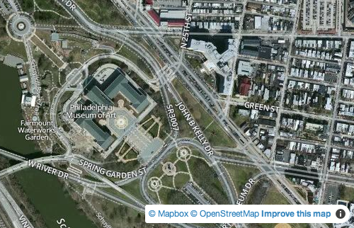
Mapbox is an open source mapping platform that allows for easy integration of location into mobile and online applications. The Mapbox Streets layer is powered by open data from OpenStreetMap, an openly licensed map of the world being created by volunteers using local knowledge, GPS tracks, and donated sources.
Deployments on the Ushahidi platform are heavily reliant on quality base maps in order to accurately geocode reports. In the recent past, whenever a crisis hits, the Humanitarian OpenStreetMap Team is quick to mobilise to rapidly digitize satellite imagery to provide maps and data to support humanitarian response organizations. (See their work on the flooding crisis in Peru and during the Nepal Earthquake in 2015).
It is evident that a thriving OpenStreetMap community is beneficial to both Mapbox and Ushahidi, as we build open source tools. Mapbox contributes to the OpenStreetMap community extensively, especially through their “Improve the map” button, which encourages users to contribute to improving data on OSM directly from within their Mapbox map.
Over the next couple of weeks, Ushahidi will be adding this functionality into the platform, encouraging our users to contribute to improving base map data directly from your map within your deployment. You can track progress on this feature on our GitHub issues page. There’s a lot more that can be done, and we’d love to hear from you on what features would help improve your experience with Mapbox on the Ushahidi platform. Share your feedback with us.
We are excited to work more closely with Mapbox and the OpenStreetMap community. Stay tuned for more updates on Twitter or Facebook, and our blog.